
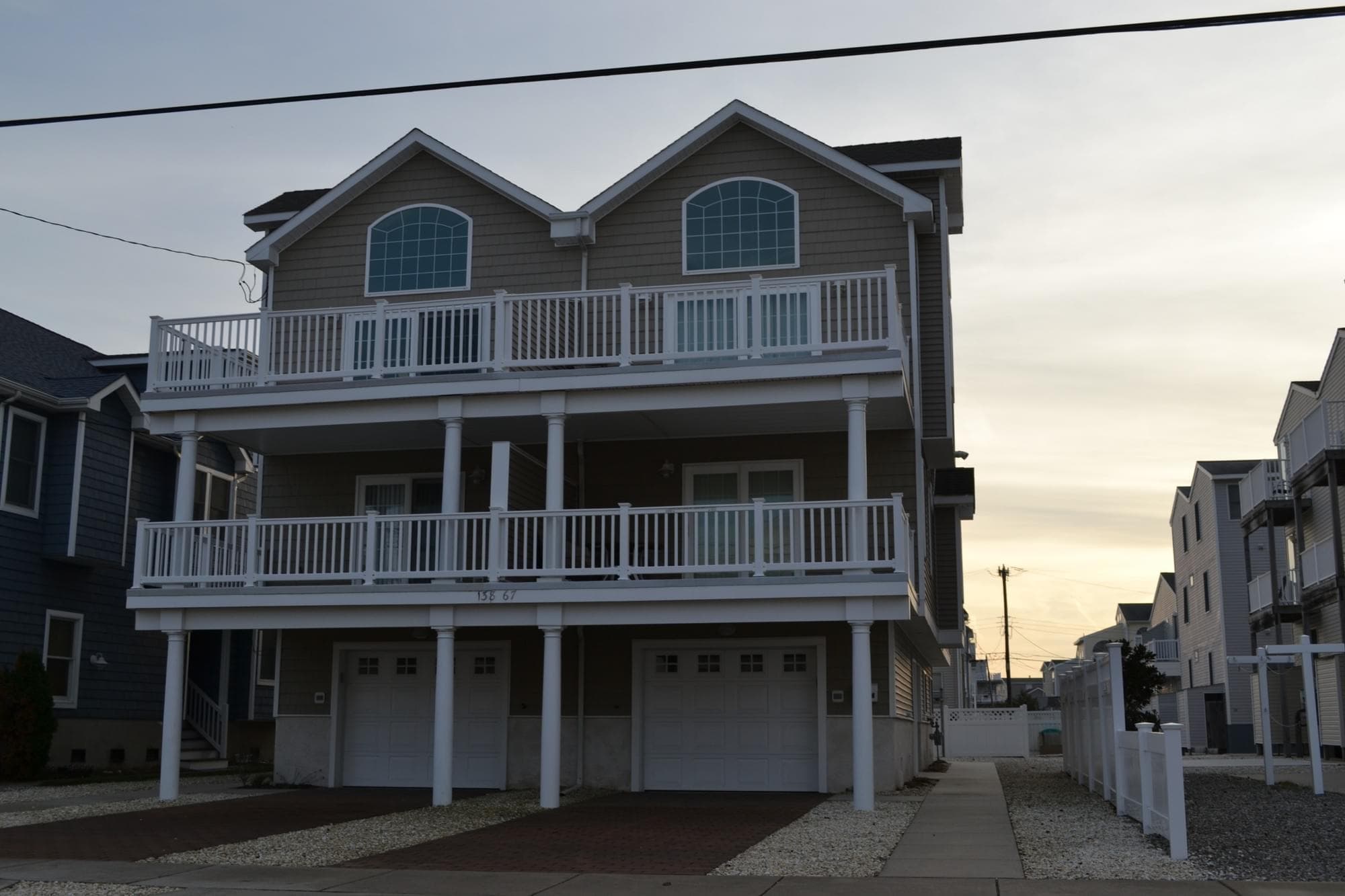
The question isn't whether you want to build a duplex. The question is whether your lot lets you.
I get this one wrong sometimes in early conversations — not the zoning rules themselves, but my assumption about which block a property sits on. Someone describes a house to me and I'm already running numbers in my head before I've pulled the map. Learned to stop doing that.
Sea Isle City's zoning isn't complicated. It's just specific. And the specificity is where most owners get tripped up.
R1, R2, R3: What the Districts Actually Mean
Sea Isle runs three primary residential zoning designations. Here's the short version.
R1 — Single-Family Residential. One dwelling unit per lot. That's it. You can renovate, rebuild, expand within setbacks — but the zoning won't support a second unit. Lots in R1 aren't worthless to developers, not even close, but the ceiling is different than in R2.
R2 — Two-Family Residential. This is the duplex district. Two units permitted by right. This is where most of the redevelopment activity in Sea Isle concentrates, because you can build two market-rate units — typically side-by-side or stacked depending on lot configuration — and the math on cost per unit starts to work.
R3 — Multi-Family / Higher Density. Permits more than two units in select configurations. R3 coverage in Sea Isle is limited in geography. When I see a lot zoned R3, I go back and double-check it, because it's less common than people assume.
The zoning map — the actual official one — is available through Cape May County's GIS portal and through Sea Isle's municipal site. I'd rather you verify the map directly than take my word on a specific address. (The GIS layers don't always load cleanly on mobile, which is annoying, but the desktop version works fine.)
Where R2 Tends to Cluster in Sea Isle
This is the part that matters if you're trying to figure out what your land is actually worth.
R2 zoning in Sea Isle City concentrates in the mid-island blocks — generally the areas between the bay and the ocean that were built up during the 50s through 70s boom. A typical pattern: a 50s-era bungalow on a 40x100 lot sitting two blocks from the ocean, zoned R2, with the original structure contributing almost nothing to the land value. That's the archetype that drives most redevelopment conversations.
The northernmost and southernmost ends of the island carry more R1 zoning — some of that is intentional planning, some of it is just how the original subdivision patterns got codified. Townsends Inlet end tends to have more single-family designations. The blocks around Excursion Park are worth checking individually.
Here's the friction I said I'd include: the R2 designation doesn't automatically make a lot "developable" in the practical sense. I've looked at R2 lots in Sea Isle where the lot width — 30 feet in some cases — creates real problems for a code-compliant duplex footprint once you account for setbacks and coverage limits. The zoning says two units. The geometry says good luck. That gap trips up a lot of pro formas.
Minimum lot width, lot coverage percentages, setbacks from property lines, and parking requirements all interact with the zoning designation. R2 is necessary. It's not sufficient.
What Zoning Does (and Doesn't) Do to Land Value
Owners in the R2 block range tend to ask this directly: does being in R2 versus R1 actually change what I can get for my lot?
Yes. Usually meaningfully.
I won't give you a number because it depends on lot dimensions, flood zone designation, proximity to the ocean, and what the comparable duplex sales are doing right now. But the underlying logic is simple: a developer who can build two units can justify paying more per square foot of land than one who can only build one. The additional unit absorbs some of the land cost. That math is real.
The flood zone layer complicates this further. An R2 lot in an AE zone and an R2 lot in a VE zone are not the same proposition. The elevation requirements, the insurance implications, the freeboard decisions — they all hit the pro forma differently. If you want to understand that piece, I wrote about it here: AE vs. VE Flood Zones in Sea Isle City: What the Letters Actually Cost You.
What I changed my mind on: I used to think the zoning designation was the primary driver of land value conversations. I think it's actually table stakes. The zoning tells you the ceiling. The lot dimensions, flood zone, and market timing tell you how close to the ceiling you can actually get.
For owners trying to calibrate what a developer might actually pay — as opposed to what a retail buyer on the MLS might pay — the spread can be significant. Cash offers versus developer offers often reflect a gap that surprises people, especially when the structure on the lot is functionally obsolete.
The other thing that affects the value conversation is whether you're selling outright or considering a structure where you participate in the upside. That's a separate framework entirely. Joint venture versus outright sale is worth understanding before you decide, not after.
And if the property came to you through an estate — which a lot of Sea Isle properties do, given how long families have held these lots — the process looks different than a conventional sale. Selling an inherited shore home without the MLS is a path more owners are taking seriously.
One more thing I want to name directly: the aged structure sitting on a developable lot often costs more to market than owners expect. The quiet cost of listing an aged shore home is real, and it's not just commissions.
---
Sea Isle's zoning map is genuinely navigable if you spend an hour with it. Pull up the GIS layer, find your block, confirm the designation, then look at the dimensional standards in the municipal code. That combination — designation plus dimensions — tells you more than the designation alone.
If you've got a Sea Isle property and you're sitting on R2 zoning with a lot width under 35 feet, I'd be curious what your setback situation actually looks like — because that's the conversation that tends to get skipped until someone's already deep into a project.
If you want a straightforward read on what your Sea Isle lot might support — and what it might be worth to a developer — reach out to Redfern Ocean Development here. No pressure, no pitch. Just numbers.